


Description
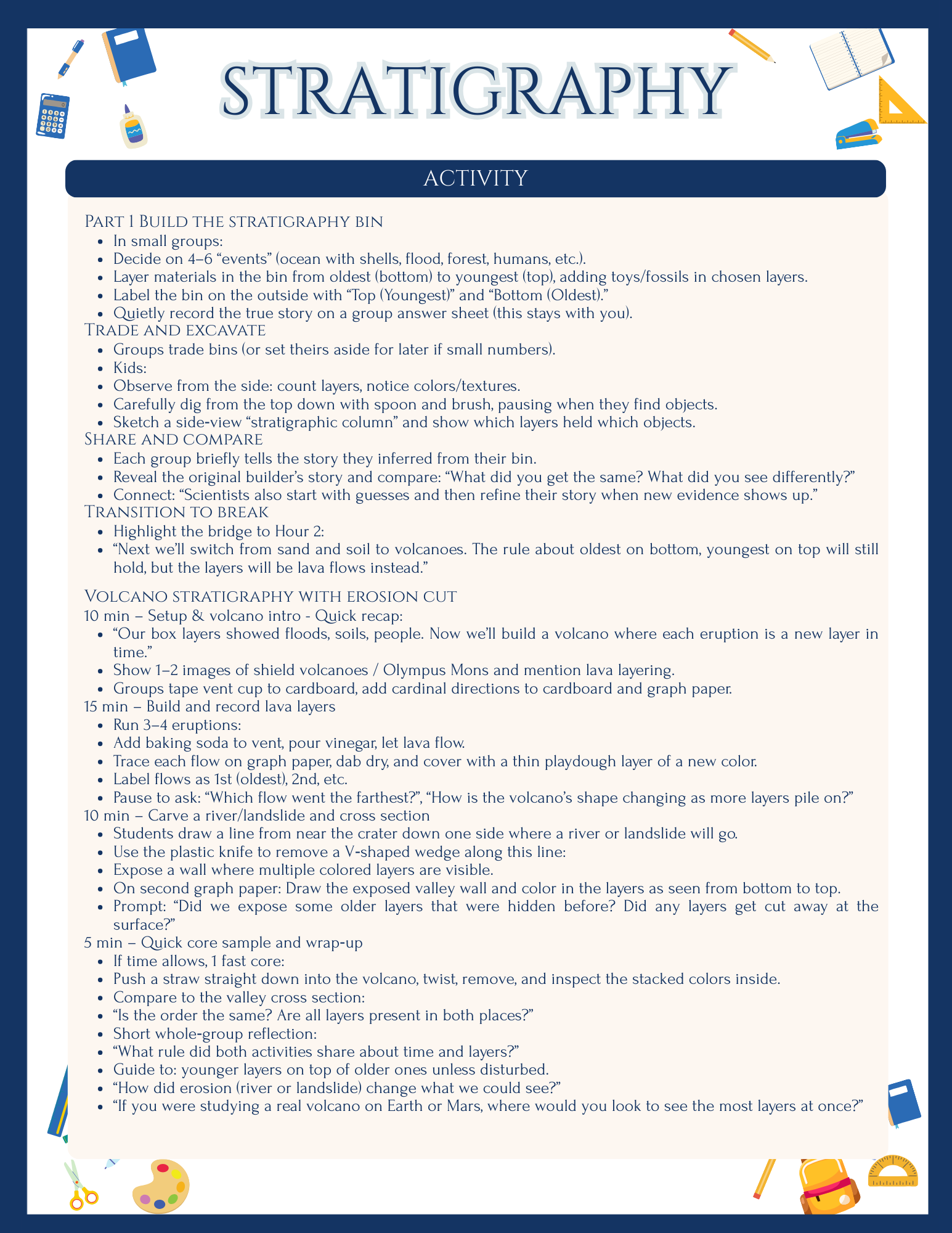
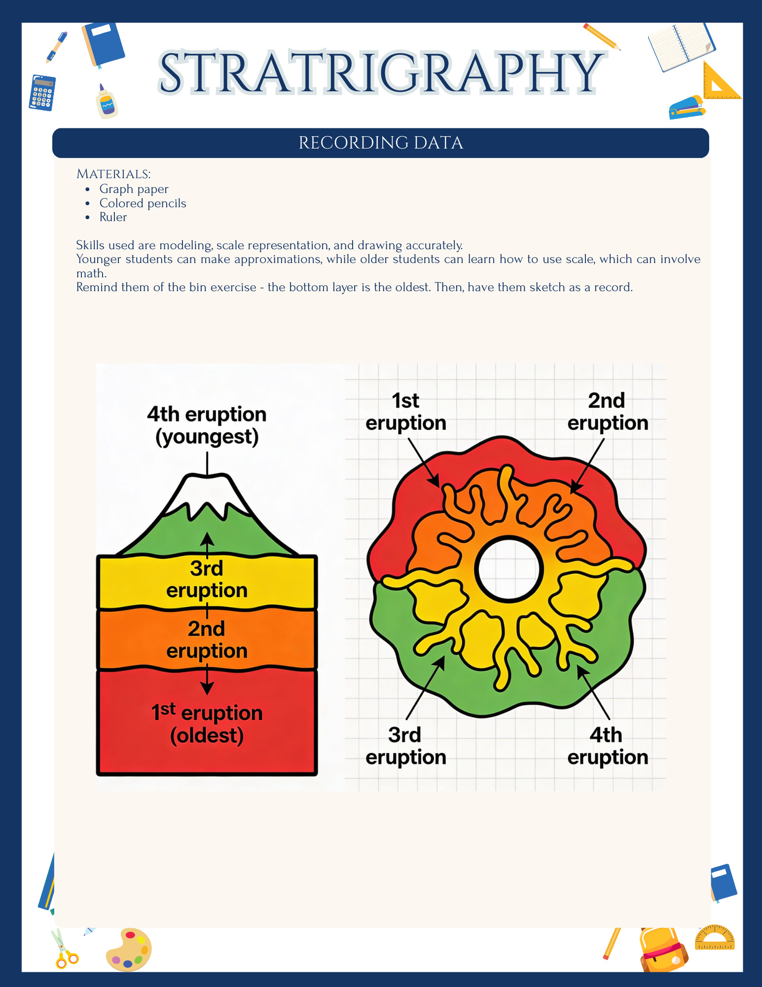
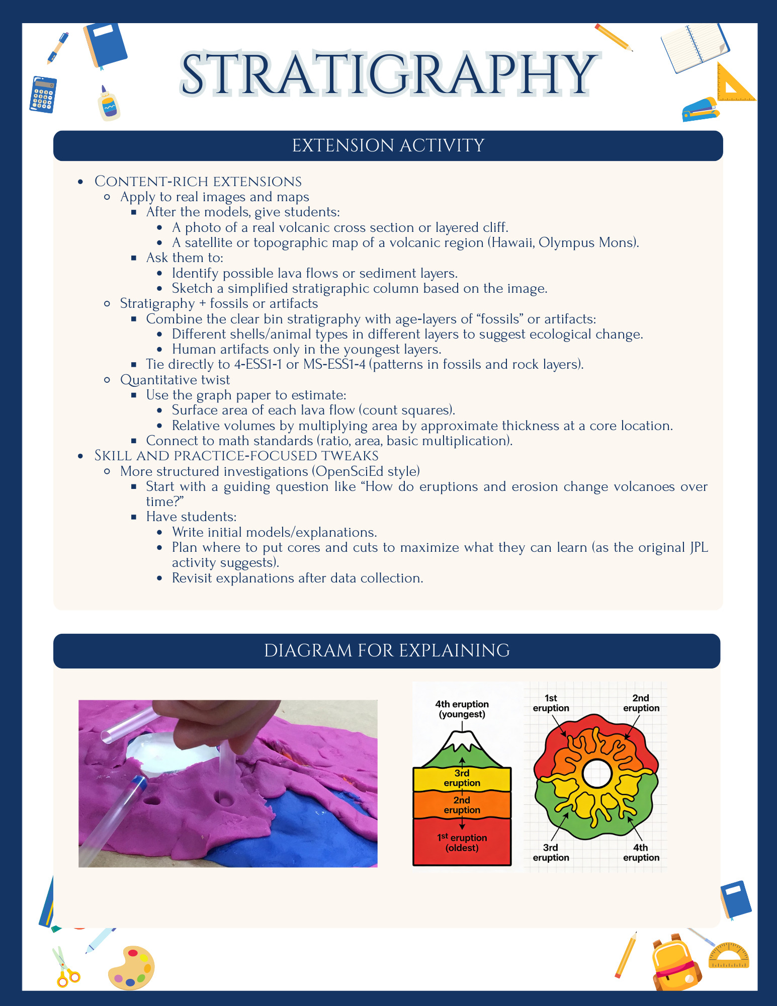
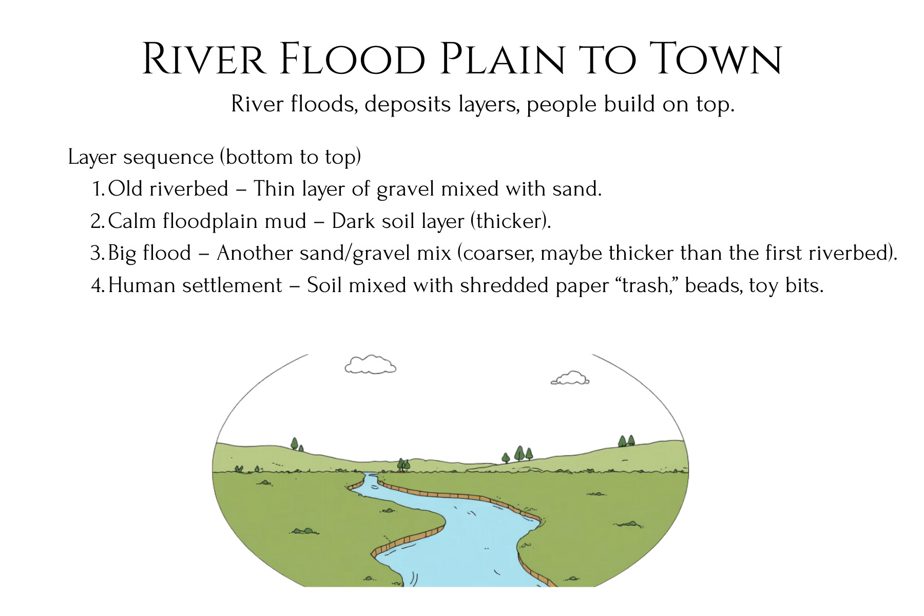
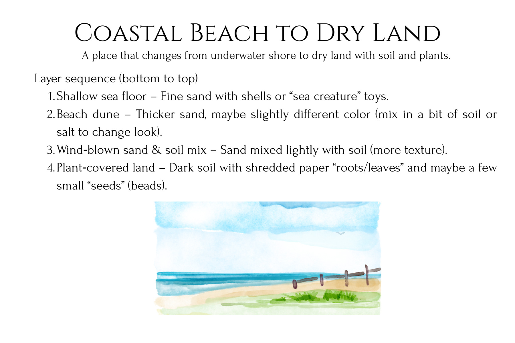
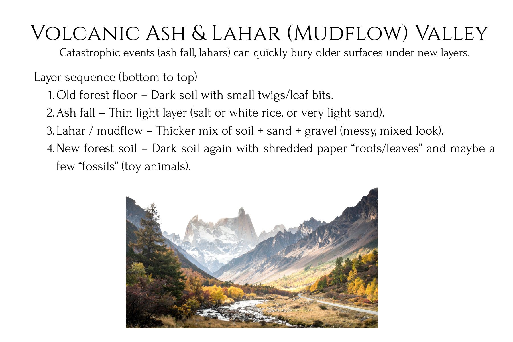
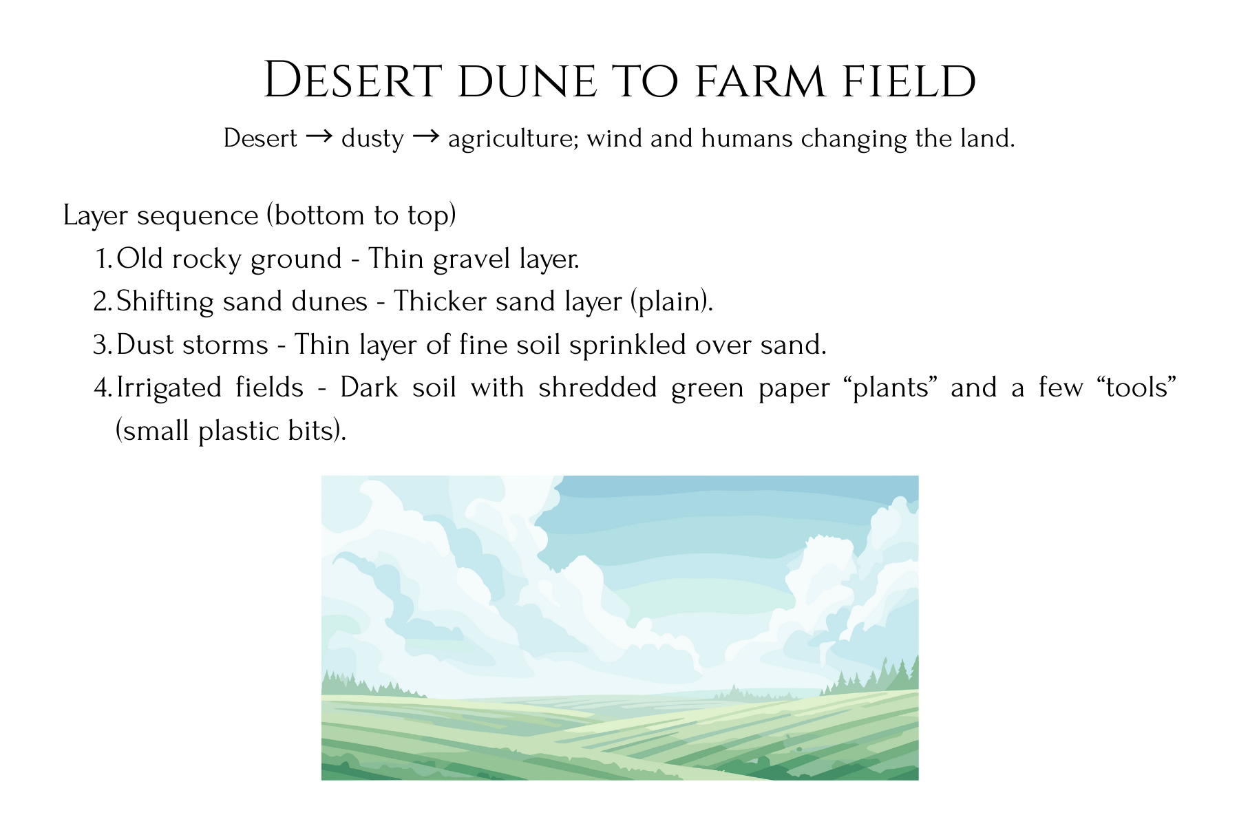
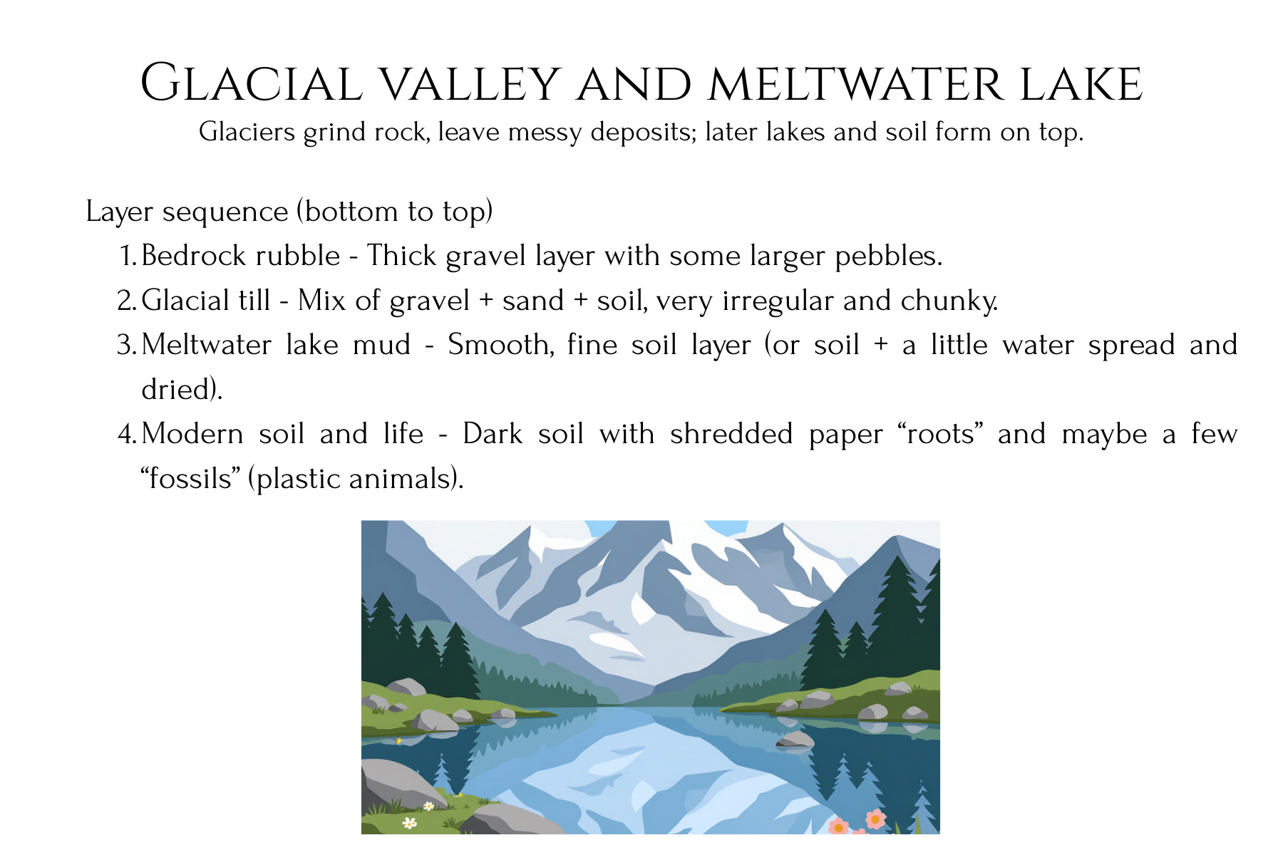
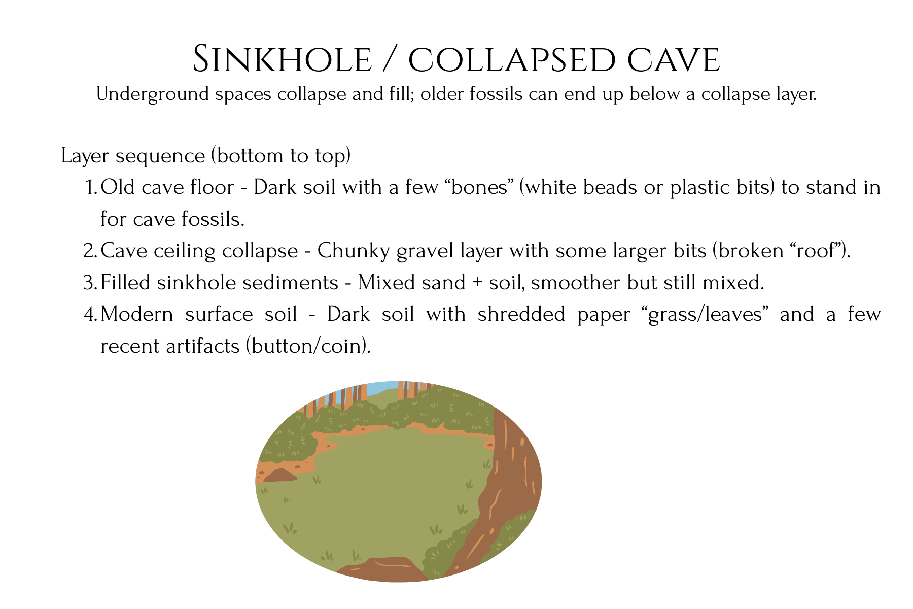
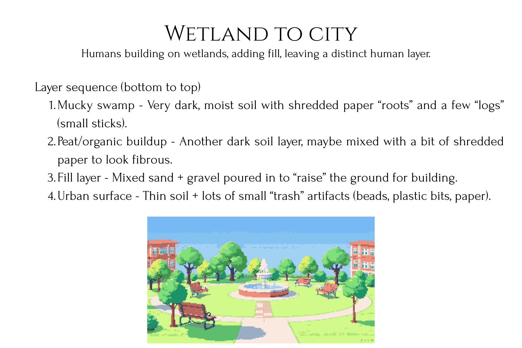
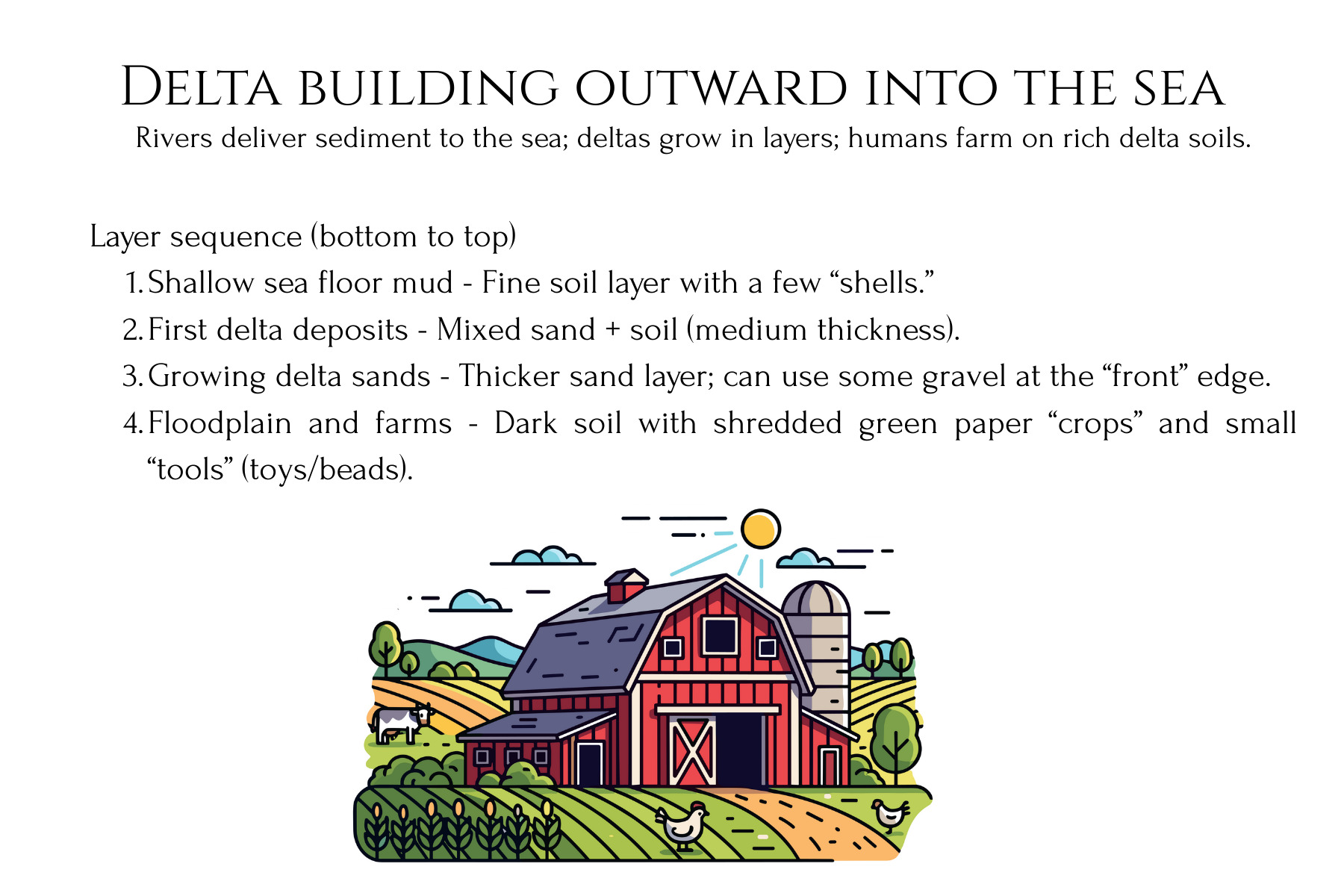
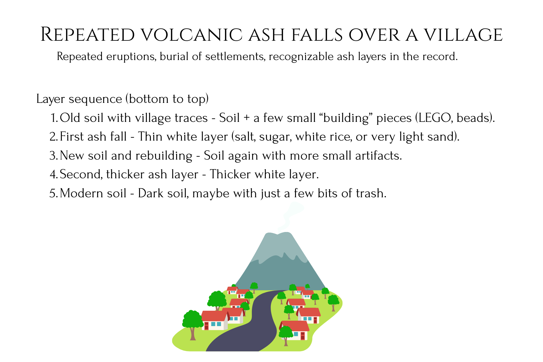
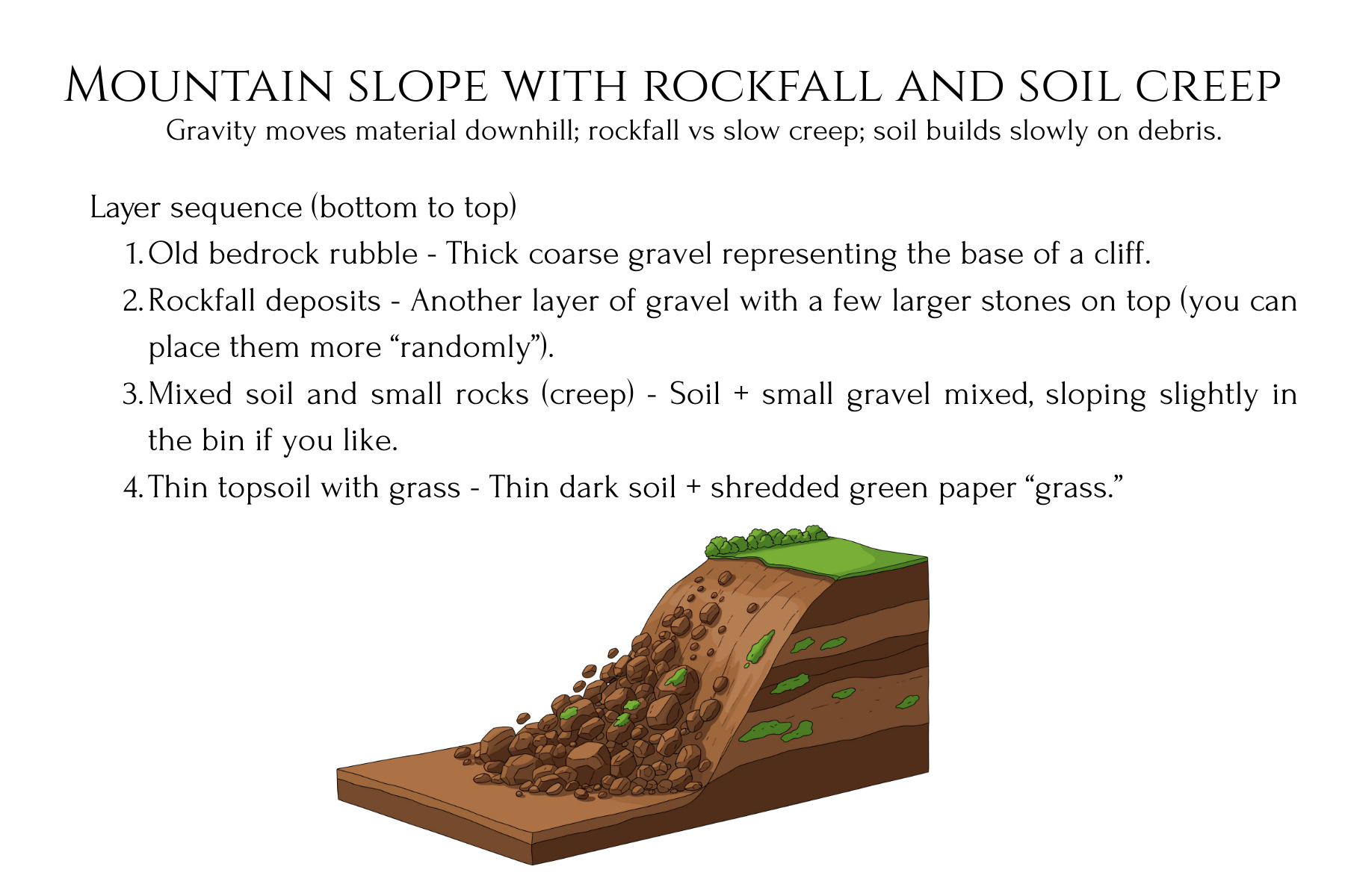
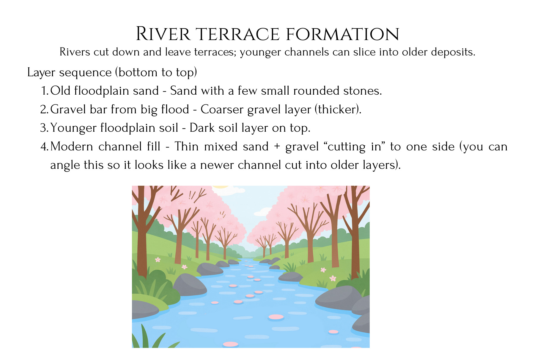
This stratigraphy lab unit turns abstract ideas about rock layers into a concrete, dig‑in experience for students. Learners first design and build a clear-bin “Earth history” model with layered sediments and artifacts, then trade and excavate to reconstruct the hidden story from the layers they uncover. Printable Landscape Story Cards, students can model real‑world environments like river floodplains, coastlines, glaciers, wetlands, deltas, deserts, and cities, then ‘read’ the layered record they create. In the second phase, they construct a playdough shield volcano, record successive lava flows on graph paper, and then cut a canyon and take core samples to reveal how eruptions and erosion reshape landforms over time.
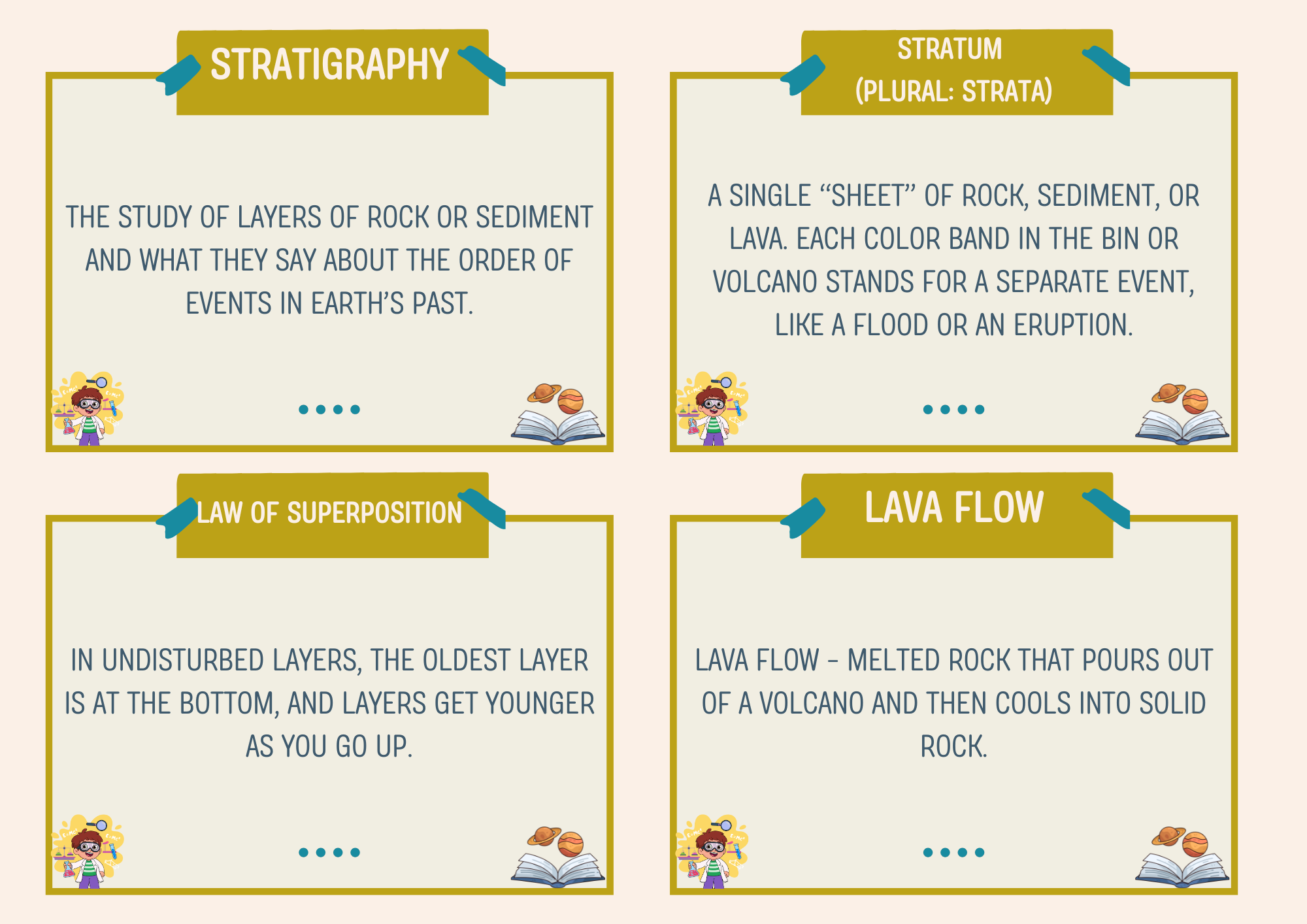
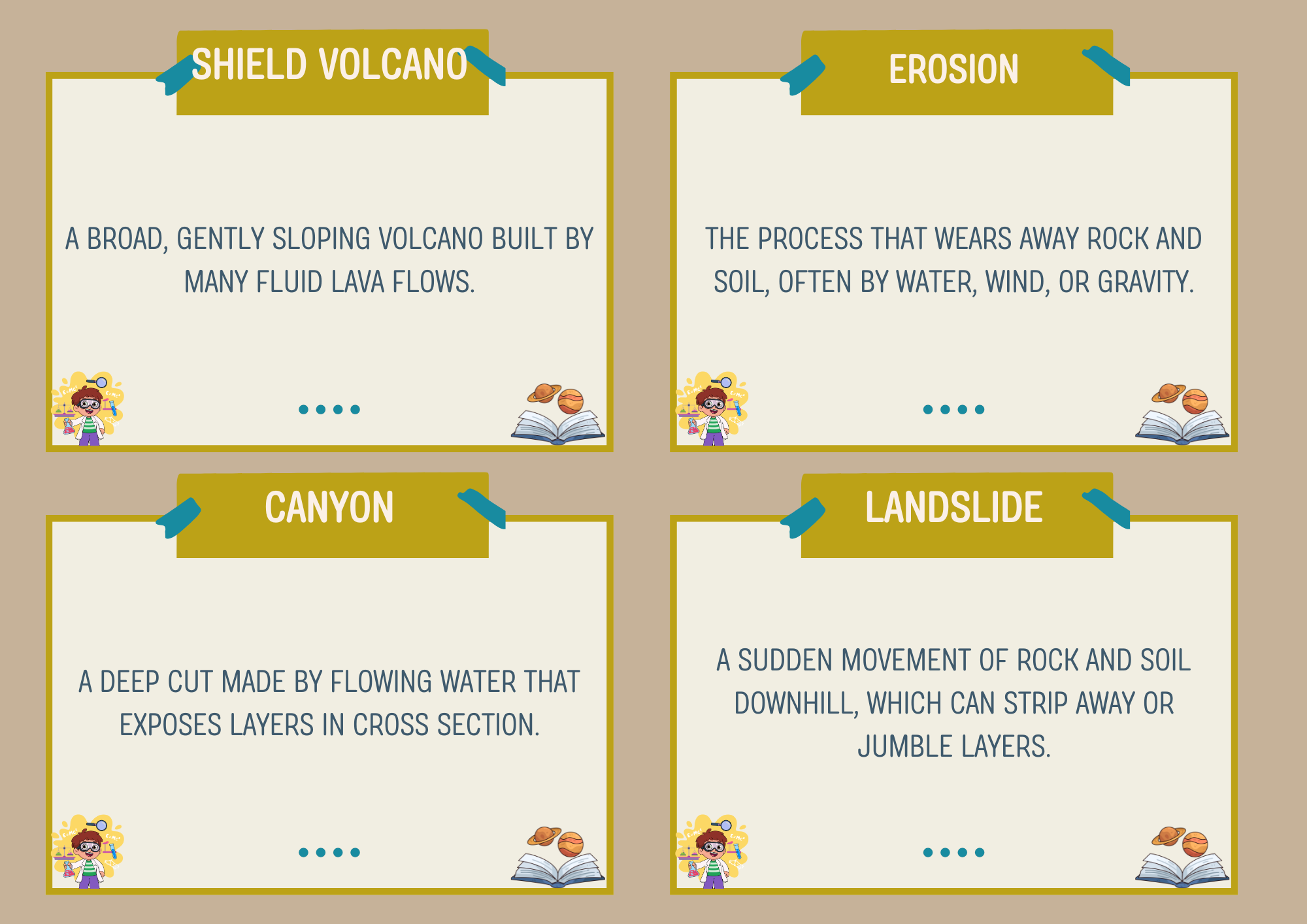
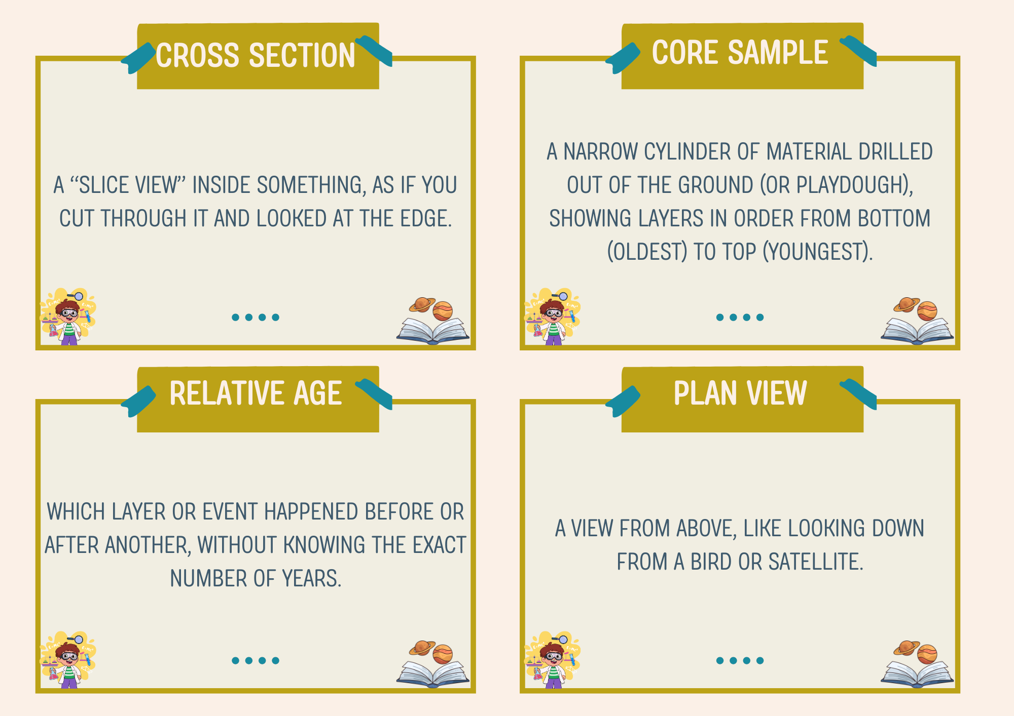
The included lesson plan walks you step‑by‑step through setup, timing, guiding questions, and debrief, with NGSS connections such as MS‑ESS1‑4, MS‑ESS2‑2, 4‑ESS1‑1, and 4‑ESS2‑2 clearly highlighted. Printable supports include lab recording pages, scaled and unscaled graph paper options, and vocabulary/reference cards covering key terms like stratigraphy, law of superposition, lava flow, erosion, cross section, and core sample. Students practice modeling, mapping, relative dating, and simple quantitative reasoning (e.g., counting squares for flow area), making this unit a strong fit for both middle school earth science and upper‑elementary extension work.
This resource is designed to be flexible for classroom, lab, or homeschool settings. Younger learners can focus on observing patterns and ordering events (older vs. younger layers), while older students can extend into Claim‑Evidence‑Reasoning writing, map‑to‑cross‑section interpretation, and optional math integrations around scale and area. The teacher “science cheat sheet” and closing prompts support confident instruction even for non‑specialists, and extension ideas connect the models to real road cuts, volcanoes on Earth and Mars, engineering, natural hazards, and archaeology.
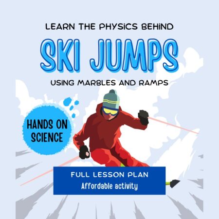
&url=https://insanitek.net/product/ski-jump-physics-marble-ramp-stem-lesson-with-vocabulary-flash-cards/&media=https://insanitek.net/wp-content/uploads/2025/11/Ski-JumpImage.jpg)
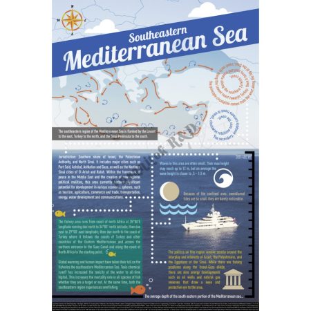
&url=https://insanitek.net/product/southeast-mediterranean-sea-infographic-2014-data/&media=https://insanitek.net/wp-content/uploads/2014/06/SoutheasternMediterraneanSea_InfoGraphic_STORE_WEB-1000x1000.jpg)
Reviews
There are no reviews yet.